
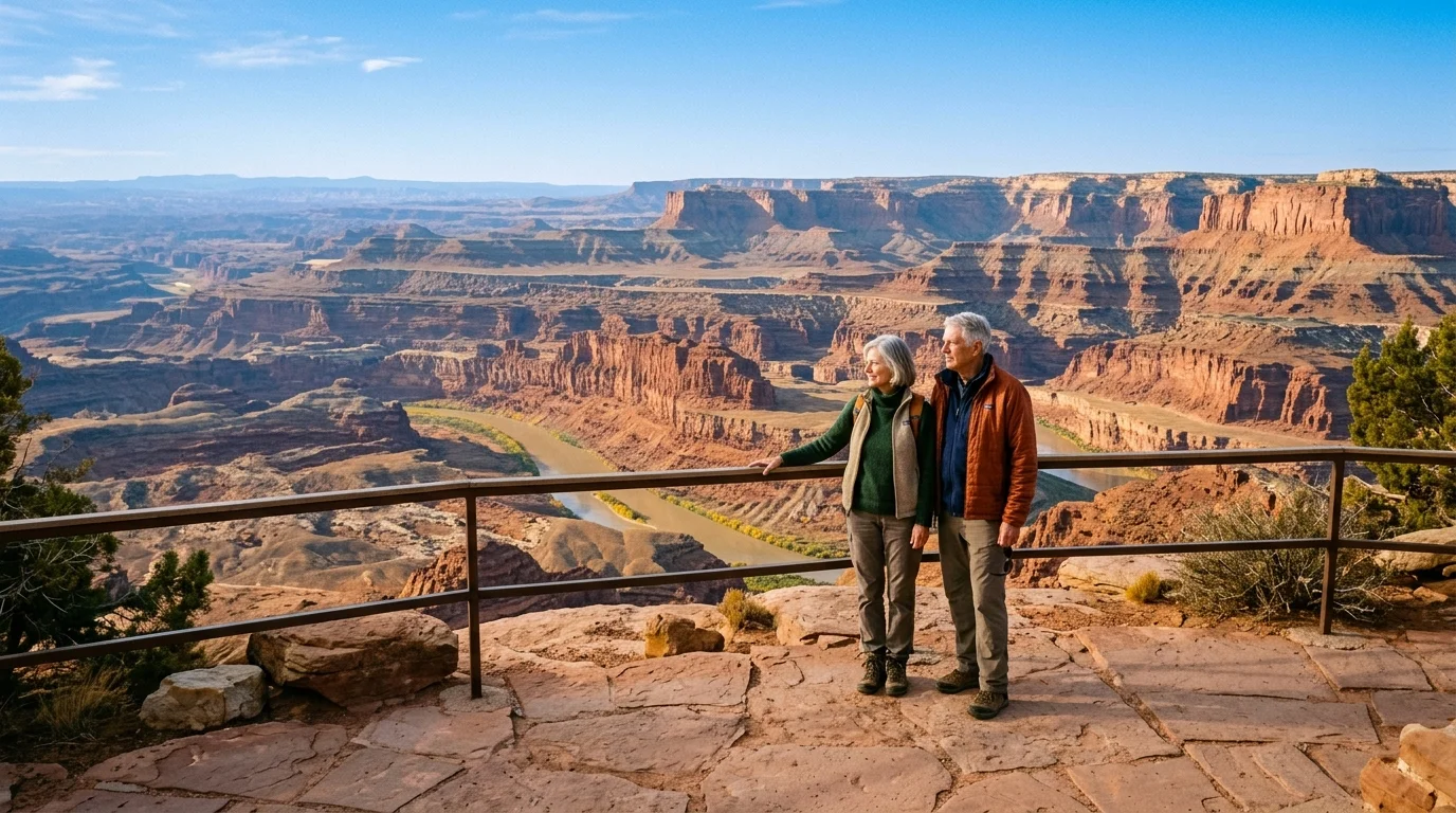
You can experience southern Utah’s world-famous sandstone monuments without climbing treacherous slickrock or straining tired knee joints. October brings crisp 68-degree afternoons, golden cottonwood foliage, and quiet desert mornings across all five national parks.
Unlike conventional itineraries that emphasize grueling backcountry climbs, this guide delivers an accessible national parks road trip with exact hybrid vehicle fuel stops, zero-stair viewpoints, and off-peak gate arrival windows.
Secure your federal senior pass, settle into your vehicle, and claim an extraordinary autumn journey through America’s most dramatic geological wonders.
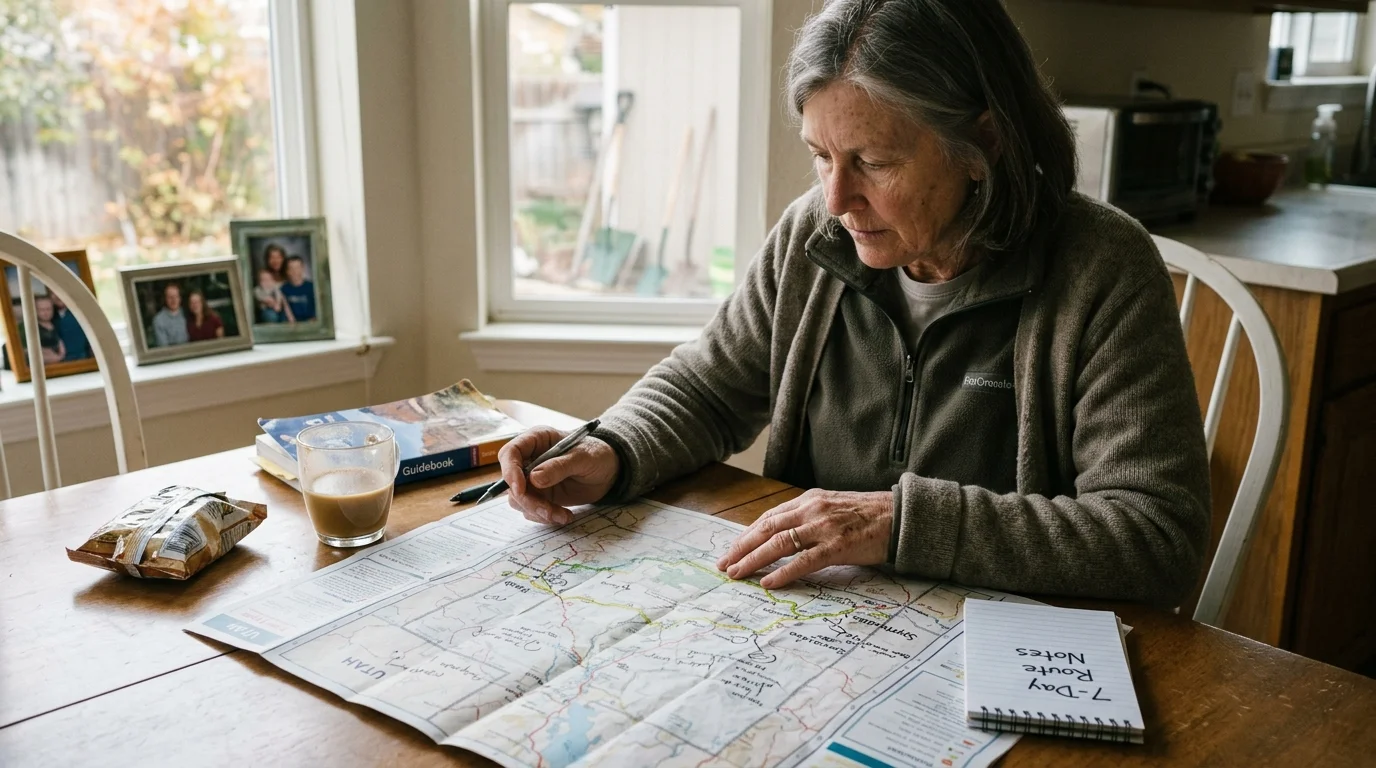
The 7-Day Hybrid Driving Route: Moab to Springdale
A successful fall Utah road trip relies on an east-to-west trajectory. This direction works with the natural drop in sunlight and keeps afternoon sun glare behind your vehicle.
By flying into Grand Junction, Colorado, or driving from Salt Lake City to Moab, you position your vehicle for a smooth 375-mile westward progression toward Zion.
This pacing eliminates backtracking and keeps daily behind-the-wheel stints under three hours; your body remains energized for afternoon scenic overlooks.
- Days 1 and 2: Base your stay in Moab to tour Arches National Park and the Island in the Sky district of Canyonlands National Park.
- Day 3: Depart Moab along Interstate 70 West and Utah State Route 24 West to Torrey, spending the afternoon in Capitol Reef National Park.
- Day 4: Explore Capitol Reef’s historic Fruita district and drive the paved Scenic Drive before enjoying an early dinner in Torrey.
- Day 5: Navigate Utah State Route 12 South across the Grand Staircase-Escalante plateau to Bryce Canyon National Park.
- Day 6: Spend the morning along Bryce Canyon’s paved rim before taking Utah State Route 9 West into Springdale.
- Day 7: Ride the accessible Zion Canyon shuttle to tour the valley floor before departing toward Las Vegas or Salt Lake City.
This timeline avoids rushed transitions and provides leisurely mornings. You will enjoy sunrise panoramas without battling predawn interstate traffic.
Organizations like Road Scholar educational itineraries emphasize pacing your days around educational waypoints rather than marathon driving stints; that measured rhythm defines this route.
Pass Economics, Gate Logistics, and October Entry Windows
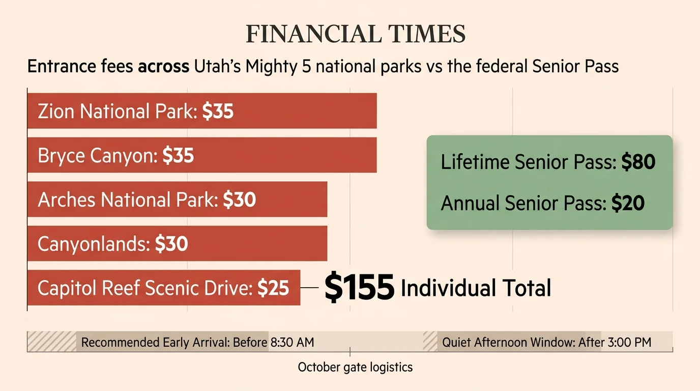
Visiting all five parks using standard vehicle passes costs $155 in gate fees. Zion and Bryce charge $35 each, Arches charges $30, Canyonlands charges $30, and Capitol Reef charges $25 for its Scenic Drive.
United States citizens and permanent residents aged 62 or older can purchase the America the Beautiful Senior Pass. This pass costs $20 for an annual permit or $80 for a lifetime credential.
The Senior Pass covers the driver and all passengers in a single non-commercial vehicle. Buying the $80 lifetime pass immediately saves your party $75 on this single circuit alone.
Entry rules shift significantly as peak summer crowds taper into autumn. You must master the specific entrance rules for each park to avoid unexpected gate turnarounds.
The National Park Service discontinued the Arches timed-entry reservation pilot program in early 2026. You no longer need to reserve a digital ticket on Recreation.gov to pass the Arches entrance station.
However, Arches parking lots regularly fill between 8:30 AM and 3:00 PM during October. Arrive before 7:30 AM or after 4:00 PM to secure parking spaces at major paved viewpoints without stress.
Private vehicles cannot access Zion Canyon Scenic Drive while the park shuttle operates. In October, the free, wheelchair-accessible Zion Canyon Line shuttle runs daily departures starting at 7:00 AM from the Visitor Center.
Bryce Canyon operates a voluntary visitor shuttle until mid-October. The park strictly restricts vehicles measuring 23 feet or longer from parking at main amphitheater overlooks during shuttle operational hours.

Hybrid Fuel Planning: Moab to Springdale Consumption Breakdown
Driving through rural southern Utah requires deliberate fuel planning. Desert expanses feature long stretches without commercial service plazas or charging stations.
Consider a worked travel scenario using a 2024 Toyota RAV4 Hybrid with an EPA combined rating of 40 miles per gallon and a 14.5-gallon fuel tank. Mountain climbs along Scenic Byway 12 reduce actual fuel efficiency to approximately 37 miles per gallon.
The primary driving circuit spans 372 miles between Moab and Springdale. Adding park access spurs—such as the 36-mile Arches loop and the 43-mile Bryce Canyon Southern Drive—brings your total journey to 548 miles.
At 37 miles per gallon, your hybrid vehicle requires 14.81 gallons of regular unleaded fuel for the entire park circuit. At an October Utah average price of $3.65 per gallon, your baseline fuel expense totals just $54.06.
Never allow your fuel tank to drop below one-quarter full while traveling across Wayne and Garfield counties. Plan fuel stops at these specific commercial waypoints:
- Moab: Top off your tank at the Maverik station on South Main Street before entering Canyonlands Island in the Sky.
- Green River: Refuel at the Chevron off Interstate 70 Exit 160 before heading south across 64 desolate miles on Route 24.
- Hanksville: Use the fuel pumps near the Highway 24 and Highway 95 junction if your gauge reads below half.
- Torrey: Refill your vehicle at the Sinclair station on Main Street before climbing the high-elevation grades of Highway 12.
- Bryce Canyon City: Top off at the Ruby’s Inn Sinclair station before traveling down Highway 89 to Zion.
Hybrid regenerative braking systems provide a tremendous advantage on steep descents like Boulder Mountain. The descent naturally charges your hybrid battery while preserving your mechanical brake pads.
Arches and Canyonlands: Paved Paths and Zero-Stair Panoramas
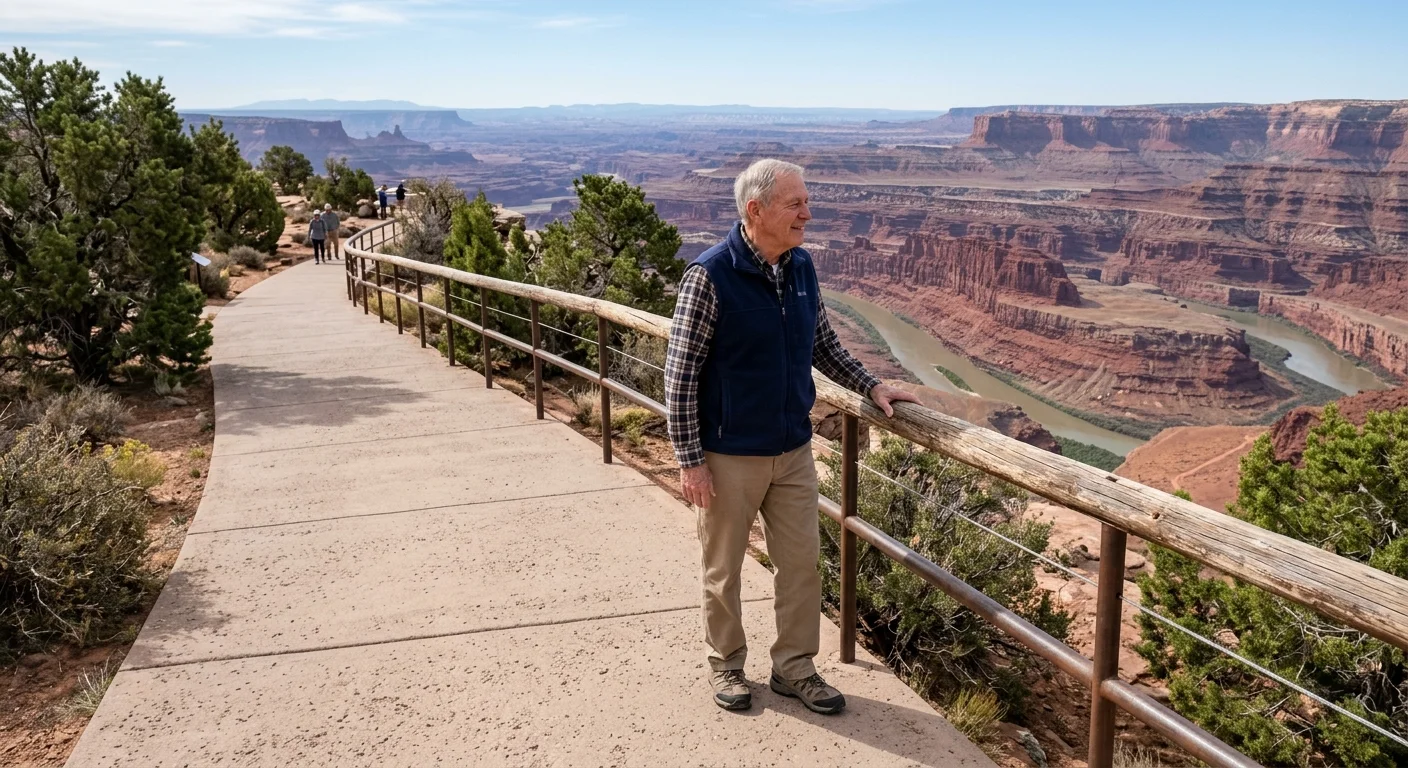
Seeing Utah’s sandstone arches does not require scrambling over slickrock domes or navigating narrow cliffside ledges. Both Arches and Canyonlands offer spectacular, step-free perspectives from paved walkways.
At Arches, bypass the strenuous three-mile climb to Delicate Arch. Instead, drive directly to the Lower Delicate Arch Viewpoint parking lot.
A level, barrier-free 100-yard paved path leads straight to an unobstructed viewing area. You can gaze across the canyon chasm at the iconic freestanding arch using mounted optical viewfinders.
Continue your drive along Arches Scenic Drive to Balanced Rock. A 0.3-mile paved loop trail circles this 3,500-ton sandstone monolith with less than 15 feet of total elevation change.
Thirty miles southwest in Canyonlands National Park, the Island in the Sky mesa perches 1,000 feet above the surrounding desert basins. The Green River Overlook features a completely paved concrete ramp that leads to a wide viewing deck.
This barrier-free vantage point displays the vast labyrinth of the Maze district and the meandering Green River canyon without demanding a single stair step.
- Lower Delicate Arch Viewpoint: Flat, 100-yard paved path featuring level safety railings and bench seating.
- Balanced Rock Trail: Smooth 0.3-mile paved loop with designated accessible parking stalls at the trailhead.
- Green River Overlook: Concrete access ramp leading to a broad, level viewing patio overlooking deep sandstone canyons.
- Grand View Point (First Overlook): Paved 100-yard sidewalk originating at the primary parking lot, offering uninterrupted southern views.
Arrive at Canyonlands overlooks by 9:00 AM. Low morning sun angles reveal deep canyon fissures that wash out in flat midday light.
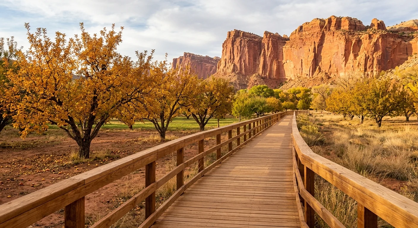
Capitol Reef: Highway 24 Boardwalks and Historic Orchards
Capitol Reef National Park protects a 100-mile wrinkle in the earth’s crust known as the Waterpocket Fold. This park is the quietest member of Utah’s Mighty 5, offering roadside access to historical landmarks.
Utah State Route 24 cuts directly through the heart of the park alongside the Fremont River. The Fremont Petroglyphs site rests directly adjacent to this highway corridor.
Two elevated wooden boardwalks extend along the sheer Wingate sandstone cliffs. These flat platforms allow you to study ancient rock art panels chiseled by indigenous hunters over 1,000 years ago.
One mile west along Route 24 lies the historic Fruita valley settlement. Pioneer families planted apple, peach, and pear orchards here during the late nineteenth century.
Stroll across the level grass beneath the golden autumn cottonwoods to the Gifford Homestead. This historic farmhouse sells freshly baked fruit pies, homemade sourdough rolls, and local fruit preserves daily through October 31.
Level gravel walkways surround the Gifford homestead and adjacent picnic pastures. Benches along the Fremont River provide quiet spots to enjoy warm pastries against red rock backdrops.
After your snack, drive the 8-mile paved Capitol Reef Scenic Drive. This route provides up-close views of sheer cliff walls without requiring physical hiking.
Turn into the short spur road leading to Capitol Gorge. You can admire sheer canyon walls towering 800 feet overhead straight through your car’s windshield.
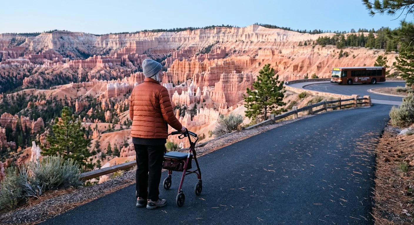
Bryce Canyon and Zion: Shuttles, Paved Rims, and Riverwalks
Bryce Canyon and Zion deliver unforgettable scenery through accessible infrastructure. Both parks accommodate visitors seeking dramatic vistas along level, hardened walking surfaces.
Bryce Canyon sits atop the Paunsaugunt Plateau. The 0.5-mile section of the Rim Trail connecting Sunset Point to Sunrise Point is fully paved, level, and ADA-compliant.
This smooth pathway delivers direct views down into the Bryce Amphitheater. You can marvel at thousands of limestone hoodoos, spires, and fins glowing orange in the autumn sun.
Wooden benches line this rim trail every 150 feet. You can rest comfortably, take photographs, and breathe the crisp mountain air without descending into the amphitheater’s steep bowl.
“National parks are the best idea we ever had. Absolutely American, absolutely democratic, they reflect us at our best rather than our worst.” — Wallace Stegner
At Zion National Park, the valley floor provides accessible pathways beneath massive sandstone monoliths like the Court of the Patriarchs and the Watchman.
Board the Zion Canyon Line shuttle at the Visitor Center. All park shuttles feature automated hydraulic wheelchair lifts and low-floor boarding ramps to assist travelers with mobility limitations.
Ride the shuttle to the Temple of Sinawava stop at the end of the canyon. From this turnaround, the Riverside Walk meanders alongside the bubbling Virgin River.
The first 0.4 miles of this trail feature a wide, paved asphalt surface with gentle slopes under five percent. Mature box elder trees and hanging gardens frame the river corridor alongside sheer Navajo sandstone bluffs.
- Bryce Rim Trail (Sunset to Sunrise): A 0.5-mile flat asphalt walkway with guardrails and rest benches throughout.
- Paria View (Bryce Canyon): Paved overlook platform facing south, ideal for late-afternoon photography from your vehicle.
- Pa’rus Trail (Zion): A 3.5-mile round-trip multi-use paved trail running along the Virgin River from the South Campground to Canyon Junction.
- Riverside Walk (Initial Section): Paved, level riverside path starting at the Temple of Sinawava shuttle depot.
The Pa’rus Trail features the easiest walking in Zion. It provides wide bridges over the Virgin River with zero stairs and gentle grades suitable for walking sticks or mobility devices.
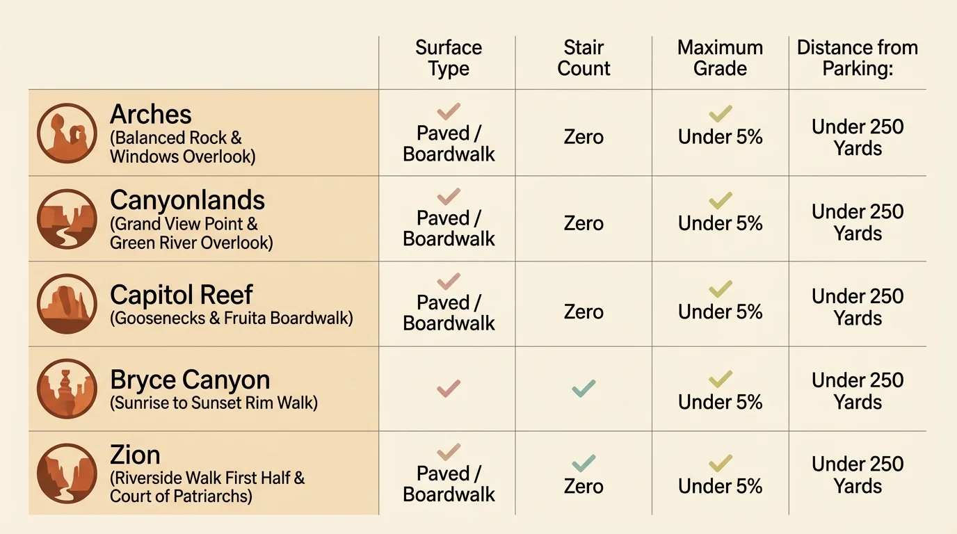
Accessible Overlook Comparison Across Utah’s Mighty 5
Planning your daily stops requires knowing exact distances, surface textures, and physical support amenities at every park viewpoint. This reference matrix details the eight easiest scenic viewpoints along the circuit.
| Park Location | Overlook Name | Surface Material | Round-Trip Distance | Maximum Slope Grade | Restrooms & Seating |
|---|---|---|---|---|---|
| Arches | Balanced Rock | Paved asphalt | 0.3 miles | 2% grade | Vault toilet; trailside benches |
| Arches | Lower Delicate Arch | Crushed gravel / pavement | 200 yards | 3% grade | Vault toilet; stone benches |
| Canyonlands | Green River Overlook | Paved concrete ramp | 150 yards | 4% grade | Vault toilet; viewing wall |
| Canyonlands | Grand View Point (Ter.) | Paved flagstone | 100 yards | 1% grade | Vault toilet; shaded benches |
| Capitol Reef | Fremont Petroglyphs | Timber boardwalk | 120 yards | 0% (Flat deck) | Restrooms at Visitor Center (1 mi) |
| Capitol Reef | Gifford Homestead Grounds | Level grass / fine gravel | 80 yards | 1% grade | Flush restrooms; picnic tables |
| Bryce Canyon | Sunset to Sunrise Rim | Paved asphalt | 0.5 miles | 3% grade | Flush restrooms at both points; benches |
| Zion | Riverside Walk (Paved Leg) | Smooth asphalt | 0.8 miles | 4% grade | Flush restrooms at shuttle stop; benches |
Each overlook listed in this matrix provides dedicated accessible parking stalls. These spaces feature marked clearance aisles for side-loading passenger vans and suvs.
Review travel lifestyle updates from AARP travel programs to discover seasonal vehicle rental discounts and regional lodging deals before departing on your autumn journey.
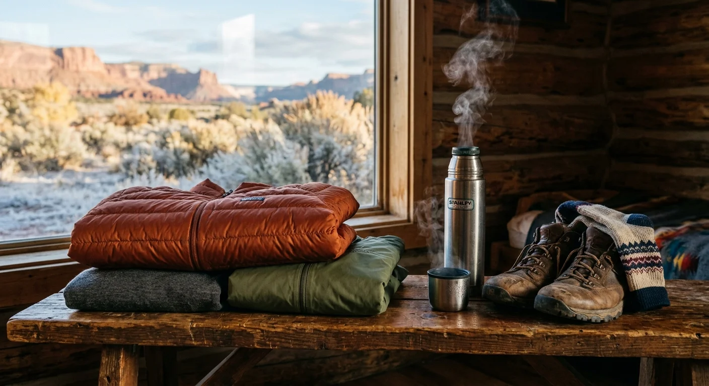
Cold Canyon Mornings: Layering for 5,000-Foot Elevation Swings
Southern Utah’s topography causes dramatic temperature swings in October. Packing requires preparing for both winter-like chills and warm desert sunshine.
Bryce Canyon sits at an elevation between 8,000 and 9,100 feet. Early morning temperatures regularly plunge between 20°F and 30°F, frequently frosting windshields and creating icy patches on paved walkways.
By contrast, the floor of Zion Canyon rests at roughly 4,000 feet, while Moab sits at 4,025 feet. Afternoon temperatures in these desert valleys regularly reach a comfortable 68°F to 75°F.
Dress using a three-stage modular layering strategy. You can adapt quickly as your vehicle ascends and descends the Colorado Plateau without needing to return to your hotel room.
- Moisture-Wicking Base Layer: Pack midweight merino wool or polyester thermal tops and bottoms to keep skin dry during brisk morning walks.
- Insulating Mid-Layer: Wear a zippered fleece jacket or lightweight packable 650-fill down sweater that locks in body heat at high elevations.
- Wind-Blocking Outer Shell: Carry a breathable, windproof nylon shell jacket to deflect blustery plateau gusts at canyon rims.
- Traction Footwear: Choose supportive walking shoes with grippy lugged Vibram rubber soles rather than smooth-bottomed casual sneakers.
- Trekking Poles: Use collapsible walking poles with soft rubber tips to maintain stability across paved walkways without scuffing protected rock surfaces.
Pack a thermos of hot tea or coffee alongside plenty of drinking water in your hybrid vehicle. Low humidity rapidly leaches moisture from your body, even during brisk autumn afternoons.
Carry a broad-brimmed hat, polarized sunglasses, and broad-spectrum mineral sunscreen. The thin desert atmosphere at 8,000 feet intensifies ultraviolet exposure throughout October.
Frequently Asked Questions
Do I need reservations to enter Arches or Zion National Park during October?
Arches discontinued its timed-entry reservation system in early 2026, meaning you do not need advance permits to enter the park. Zion does not require park entrance reservations, though private vehicles cannot drive Zion Canyon Scenic Drive while the shuttle runs.
Can I use my lifetime America the Beautiful Senior Pass at all five Utah parks?
Yes. The federal Senior Pass covers entry fees for the cardholder and all passengers traveling inside a single personal vehicle at all five Utah national parks, making it highly cost-effective.
Which of Utah’s Mighty 5 parks offers the easiest access for travelers with mobility limitations?
Bryce Canyon and Zion offer the most accessible experiences. Bryce features a flat, paved half-mile rim walk between Sunset and Sunrise Points, while Zion provides fully accessible valley shuttles and level paved pathways like the Pa’rus Trail.
Is October too cold for visiting Bryce Canyon National Park?
October brings brisk, sunny weather to Bryce Canyon, though morning temperatures frequently drop below freezing (20°F to 30°F). Pack thermal gloves, warm hats, and layered outerwear so you can comfortably enjoy sunrise views before midday warming.
Disclaimer: This article is for informational and inspirational purposes. Life decisions are deeply personal, and we encourage readers to pursue their dreams while considering their unique circumstances, health, and financial situation.



2 Comments